SyncfusionInc/Syncfusion.SfMaps.UWPv32.2.8
✓ Verified
This package provides the functionality to utilize the features of Syncfusion® UWP Maps control and more.
Get Started
$ dotnet add package Syncfusion.SfMaps.UWPReadme
Syncfusion® UWP Maps Component
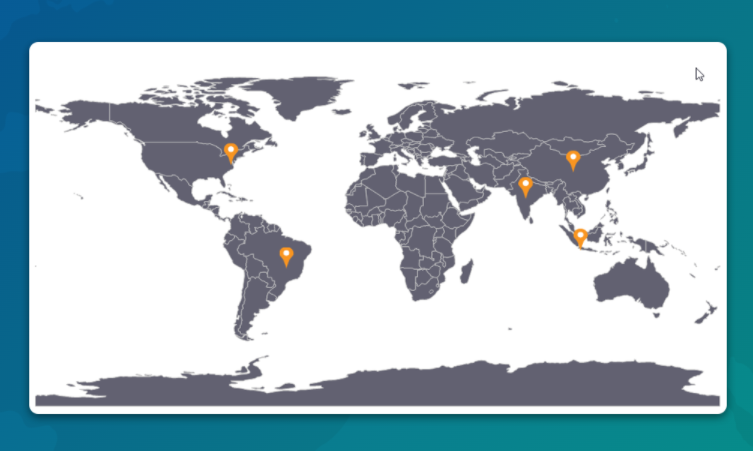
The Syncfusion® UWP Maps is a powerful data visualization component that displays statistical information for a geographical area. It has highly interactive and customizable features such as zooming, panning, selecting, legends, markers, bubbles, and color mapping. Using the Map control,you can render various maps, such as sales, political-boundary, weather, electoral, and route maps.
Features Overview | Docs | Online Demo | Support | Forums | Feedback
System Requirements
Getting Started
License
This is a commercial product and requires a paid license for possession or use. Syncfusion® licensed software, including this component, is subject to the terms and conditions of Syncfusion® EULA. You can purchase a license here or start a free 30-day trial .